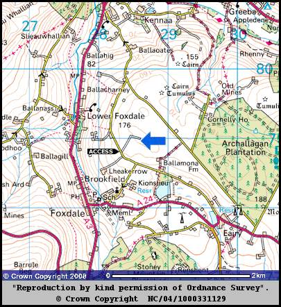
For a full screen view, click the square in the top right of the image.

You'll find this location on Google Maps, by clicking on the above arrow.
Clicking on the top left of the small box that appears will open Google Maps in a larger window, revealing the Observatory at the top right of the map. For a short video of the journey up the lane, click here.


